
North Island - Short Walks
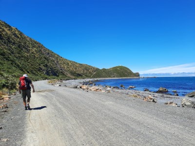
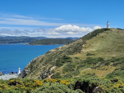
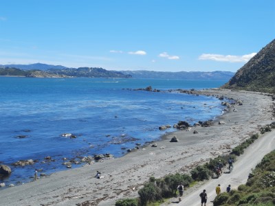
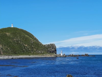
Pencarrow Light House
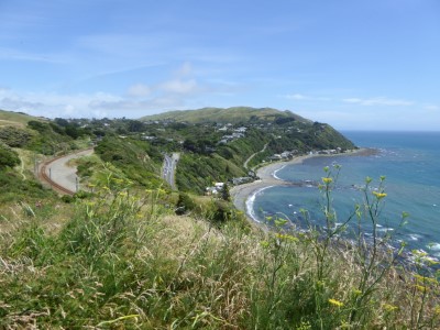
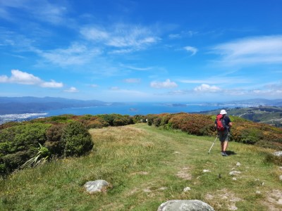
On a sunny, windless day nothing beats the walk along the
Wellington Harbour coastline to Pencarrow Lighthouse.
It takes only 20 minutes to get to the carpark near Wildfinder,
the bicycle hiring outlet from our place in Wainuiomata. From
there we follow the coastline road towards the Barrett's Reef
at the entrance to the harbour, passing on the way Burdan's
Gate, Camp Bay, The Pipes - a well-known surf spot, and Hinds
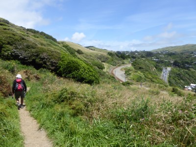
Point. The track is flat to the Pencarrow lower lighthouse. The
upper Pencarrow lighthouse stands on a hill 75 meters above sea
level. To get up to it we took the harder, steeper but shorter
track signposted before the lower lighthouse. In reality, the
trail wasn't hard. We saw someone on a powerful e-bike go all the
way up to reach the summit to the surprise of other cyclists who
left their bikes and walked up. We spent some time around the
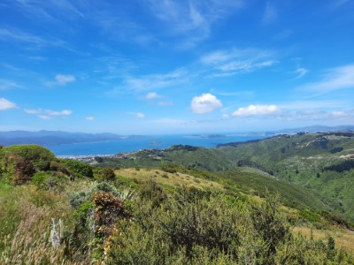
lighthouse enjoying spectacular views of the Wellington Harbour
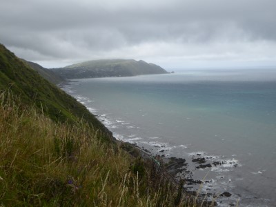
Heads before continuing to the Pencarrow Head lookout. From there,
to the south we had panoramic views of Cook Strait and the
Kaikoura Ranges and to the north, we could see Lake Kohangapirpiri
and the Remutaka Ranges. We were very pleased to see quite a few
informational boards explaining the history of the lighthouse and
giving insight into life on the coast in the nineteenth century.
After a short lunch break, we strolled leisurely back to
Eastbourne. It was a very nice way to finish our walking for 2020.
Paekakariki Escarpment
We must be the last members of our family to walk the Paekakariki Escarpment. It had been on our to-do list for a very long time, but we always managed to find an excuse to avoid this walk. Finally, when we saw that Tararua Tramping Club was organising a Sunday walk we decided it was time to do this hike. We met with the others members of TTC at the Plimmerton railway station and caught the train to Paekakariki. Heading south the trail starts by following the Kāpiti railway line then veers uphill and across privately-owned farmland. We heard lots of stories about the 1200 steps but after intensive practice in step climbing in Italy on Amalfi Coast, we didn't have any problems negotiating them. Yet again the weather was on our side and we were able to fully appreciate the magnificent views of the ocean and Kapiti Island. Near Pukerua Bay we crossed a few swing bridges that just made this hike more interesting. The walk is noteworthy for its excellent signage providing a lot of interesting history. The Paekakariki Escarpment ends close to the Pukerua Bay railway station. We decided to carry on back to Plimmerton. Being somehow lazy we played chicken on the main highway trying to cross it, instead of using the overbridge. The track to Plimmerton runs parallel to SH59 and later goes through some of the industrial parts of the settlement. It was a big contrast to the picturesque Escarpment.

Belmont Park
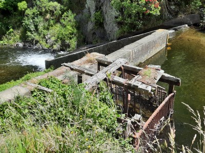
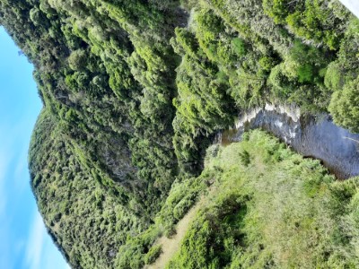
Its suppose to be a short walk to the Belmont Trig but it ended to be much longer one, which included some parts of the western suburbs we didn't existed. The walk started at the Korokoro Stream Bridge and followed the Korokoro Stream till Korokoro Fork. At the fork we took the well signposted track to our left with the aim to climb to the top of the Belmont Trig (457m). Upon reaching the trig we were rewarded with fantastic views from the Tararuas to the Kaikura ranges. Somehow going down via farmland we missed the right turn and ended in the suburban area. We must have spent a good hour or so before we managed to get into the park at the Oakleigh Street entrance. In no time at all we reach the Korokoro Dam and were on our way back to the carpark walking along the stream.
Tarawera Trial
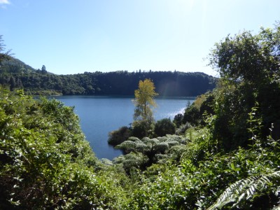
A 5 minute drive from the Blue Lake Top 10 Holiday Park took us to
the well-signed Te Wairoa car park. We took our time to reach
Tarawera Landing. We enjoyed the easy, slightly downhill stroll
toward Kotukutuku Bay. We listened to the sounds of Te Wairoa
Falls and observed a female wallaby with her little joey. From the
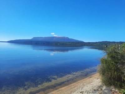
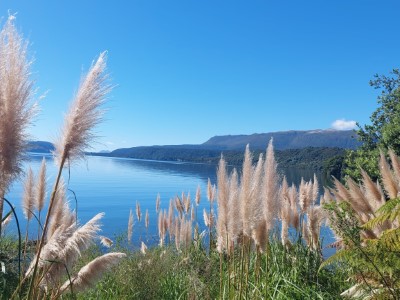
Tarawera Landing, the track runs almost parallel to the lake shore
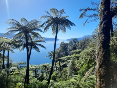
to Hawaiki Bay and later Hinau Bay. At the halfway mark we started
our first noticeable climb - 400 meters to reach the Oneroa
Lookout, a lovely spot to sit down and have lunch while enjoying
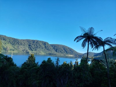
views of Lake Tarawera. From here the descent took us to Te Wairau
Amenity Area followed by the second, this time a bit steeper, 500
meters climb to the Rotomahana Lookout. Fiona, being a much faster
climber than I, reached the top well before me, and by the time we
met at the top of the lookout, she was ready to start the last
stage of the trail. On the way down I caught up with her and we
finished the track together. With plenty of time to spare, we
indulged ourselves in a hot water soaking at the edge of the lake
while waiting for the water taxi from
Totally Tarawera .
The Tarawera Trail was a pleasant easy to moderate 15 km walk. We
took a little longer than the advertised time on the first
section. It is worth mentioning here that excellent signage at all
stages helped us to maintain the required walking pace to make
sure we had enough time to have our swim at the Hot Water Bay
before being picked up by the water taxi. The service by
Totally Tarawera
of the boat trip across the lake and van shuttle back to the
carpark was very efficient and reasonably priced.
Patuna Chasm Walk
This hidden Wairarapa gem is located just a 20-minute drive from
Martinborough on Patuna Farm.
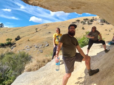
Following a brief safety orientation, we settled onto trailers
pulled by robust 4WDs, embarking on a 15-minute journey to the
beginning of our trek. The initial walk amongst regenerating
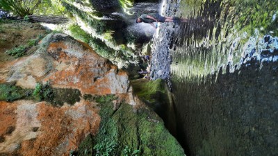
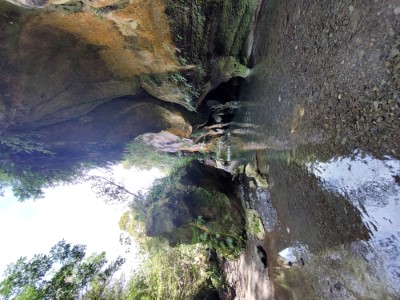
native bush took us to a limestone wave-like cliff. From there,
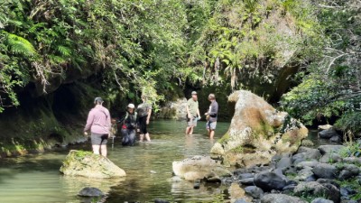
descending sharply, we entered the chasm and walked along the
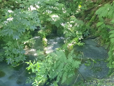
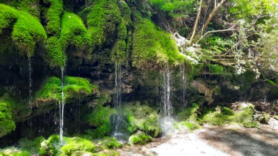
Ruakokopatuna River toward beautiful moss-lined waterfalls.
Navigating slippery rocks posed some hazards but also provided
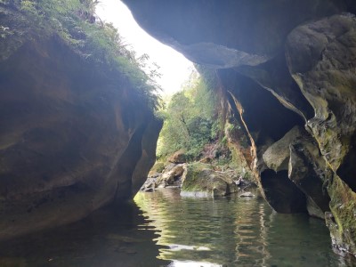
moments of laughter. Retracing our steps, we marvelled at the
chasm's depths and the play of light against its limestone
walls. A muddy uphill detour led us to a small cave covered in
descent-sized stalactites. Upon reaching the "dry exit",
Abi opted to get on the return track, while the rest of us pursued
the "wet exit". A hanging rope at the "dry
exit" served more as a confidence booster than a necessity.
Another route to rejoin the return track a mere five meters
downstream posed no challenge. As the water was getting deeper and
deeper, Arek dived under water to go for the black t-shirt award,
Fiona had to swim, and the rest of us waded with water reaching
our shoulders. A brief uphill trek returned us to the starting
point, where farm transportation awaited. Dust from the track
settled on our wet clothes. Back at the farmyard, we changed into
dry, warm attire before journeying back to Martinborough. Pizzas
at Colombo Vineyard, accompanied by wine and beer sampling, capped
off a memorable family adventure.
Thanks again to Susanna
and Dawid for a great Christmas present.