
Routeburn Track
We got to Te Anau the day before we were due to start our walk. We stayed, like many other previous times in Te Anau, at the Top Ten Holiday Park. Their motel units are comfortable but a bit tired. Maybe next time we will try something different. For a small fee, we were able to leave our car with them for the duration of the walk. The following morning we were picked up from our accommodation by the trusted Tracknet bus. The trip takes around 90 minutes. Besides us, there was only one other passenger on his way to Milford Sound. No worries about an overcrowded bus.

Day 01
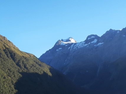
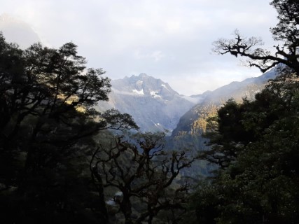
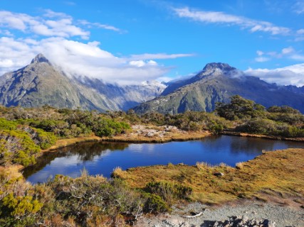
It was still dark when the bus arrived to pick us up from Te Anau but by the time we got to The Divide Shelter and car park, the sun had started to shine. It took us about an hour of easy walking to get to the Key Summit intersection. We dropped our backpacks into the bush and spent 30 minutes climbing the well-established track to the summit. The climb was much easier than anticipated and the rewards were great. We had a full view of Mt Christina - Te Taumata o Hinepipiwai and Mt Crosscut - Paekaru. From Key Summit, we walked on to the impressive 174 meters high Earland Falls and continued until we reached a grassy area called The Orchard. We stopped there for a short time to have some snacks and drinks. We reached the Lake McKenzie Hut, secured sleeping bunks in the smaller hut and went for a swim in the lake. Unfortunately, the level of the lake was very low and therefore our swim had to be converted into a water splash. After dinner, the hut warden gave us a very emotional and educational talk about pest control in this part of the park.
Day 02
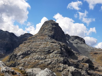
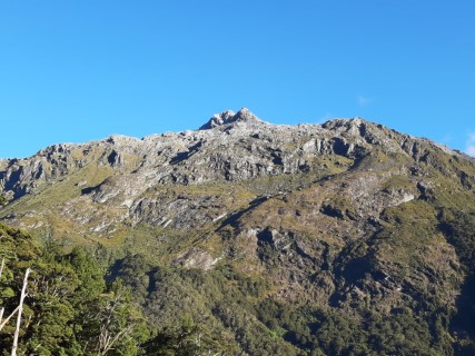
As usual, we got up early, had our breakfast, packed the backpacks and got ready for the second day on the track. It took us around two hours to arrive at Harris Saddle, the highest point on the track at 1255 meters. It was a steady climb from the McKenzie Hut with panoramic views of remote, forested Hollyford Valley and Darran Mountains. Upon reaching Harris Saddle shelter we decided to add a side trip to the summit of Conical Hill 1515 meters above sea level. It was 1.5 hours return on a very steep track. I was asking myself why am I doing this but splendid views on a good, sunny day helped me quickly forget about the pain. The cameras got hot from capturing all the views, not leaving anything for other potential photographers. From the saddle, the tracks lead along the bluffs above Harris Lake and down towards Routeburn Falls Hut. Our timing was lucky, the rain started just as Fiona arrived at the hut. The hut itself is a very modern, very comfortable place with cosy sleeping areas, a good kitchen and a dining room.
Day 03
The last day was the shortest and the easiest. Literally a walk in the park. I can not remember any climbing on this day. Within the first hour of walking, through the beech forest, we got to Routeburn Flats Hut and Campsite. A fantastic place situated on the crystal-clear Route Burn. It could be a good alternative place to spend the night. We were hoping for a swim in Sugarloaf Stream but there were tons of people with the same idea. In the end, we had a nice rest and got our feet wet but decided not to swim. The last item on our route was the Routeburn Nature Walk just before the shelter. It took 30 minutes on the bus to get to Glenorchy and another 40 minutes to get to Queenstown. By the time we landed back in Te Anau, we were exhausted.